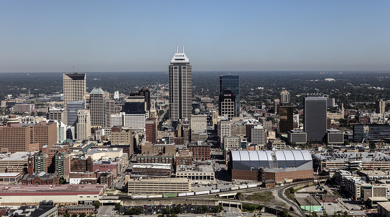
Indianapolis, Indiana
Indianapolis: White River defenses and interior flood recovery
Understand Indianapolis's White River and stormwater infrastructure, the limits of flood maps, and restoration decisions after water reaches a building.
Published · Reviewed · Water Damage Dispatch
Educational guidance, not a current warning, parcel-level hazard assessment, emergency service, insurance coverage decision or guarantee of contractor availability. Follow local authorities and call 911 for immediate danger.
Property loss in Indianapolis
Indianapolis manages an extensive stormwater and flood-control system, but community infrastructure and private interior recovery are different responsibilities. An owner needs to understand both without treating a levee or gate as a guarantee of building safety.
A network of protections, not one flood barrier
Indy Public Works describes stormwater basins, conveyances, levees, flood gates and dams among the infrastructure it installs and maintains. Its White River updates also illustrate how river levels can affect gate operations and access. These resources help explain local response priorities. They do not establish that all properties behind a control structure share the same exposure or restoration needs.
Sources: indy.gov: Stormwater
White River mapping has a defined geographic scope
USGS developed flood-inundation maps for a specified White River reach in Indianapolis, working with Indiana partners. Such mapping is useful precisely because it relates water stages to a particular area; it should not be generalized to every street or indoor loss. A restoration crew's moisture measurements answer a different question: which materials in this building were affected and how their condition changes during recovery.
Sources: Flood-Inundation Maps for the White River at Indianapolis ...
Public access decisions come before private work
When high water or closures affect a route, rushing equipment to a property is not the first priority. Owners should use current city and emergency guidance for access, then arrange appropriate assessment of utilities and structures. Once work is permitted, restoration documentation can help a household or business organize contents handling, contamination controls and repairs without confusing public flood response with a private contractor's scope.
Sources: indy.gov: Stormwater · Guidelines for Cleaning Safely After a Disaster | Natural Disasters | CDC
Keep flood-operation decisions separate from indoor clearance
An Indianapolis restoration scope should use building observations alongside, not instead of, official flood information. Ask which materials were contacted and how the contractor will assess contamination or hidden wetting. A river-stage map cannot determine that a particular piece of drywall should remain or that an electrical component is safe.
The sequence matters where public closures or damaged services are involved. After appropriate clearance, the provider can explain extraction, cleaning, material handling and moisture checks. Repairs to an opening, site condition or service may belong to another trade. A clear account of those dependencies is more useful to a household or employer than assuming that a change in gate operation completes private recovery.
Sources: Guidelines for Cleaning Safely After a Disaster | Natural Disasters | CDC · Resources for Flood Cleanup and Indoor Air Quality | US EPA
If damage happens
Follow current city access guidance
Check relevant routes and restrictions before arranging attendance at an affected property.
Keep service hazards with qualified help
Do not operate wet or damaged equipment; arrange utility or appropriate trade assessment where needed.
Review the indoor evidence
Ask for a room-based record distinguishing affected layers, contamination decisions and the basis for proceeding to repair.
Locate Indianapolis
City-center location map only—not a flood-risk map, hazard boundary, live warning or address-specific assessment.
Official sources and review notes
Local sources establish geographic and hazard context. CDC and EPA resources provide general recovery guidance. Historical notices and draft plans are identified in the text; they are not current warnings or funding approvals.
- indy.gov: Stormwater — indy.gov. Checked 2026-10-18.
- Flood-Inundation Maps for the White River at Indianapolis ... — pubs.usgs.gov. Checked 2026-10-18.
- Guidelines for Cleaning Safely After a Disaster | Natural Disasters | CDC — Centers for Disease Control and Prevention. Checked 2026-10-18.
- Resources for Flood Cleanup and Indoor Air Quality | US EPA — U.S. Environmental Protection Agency. Checked 2026-10-18.
Indianapolis recovery questions
Can a White River map tell me whether to replace drywall?
No. It describes modeled outside conditions for defined stages and reaches. Material decisions require observations of actual contact, contamination and condition at the property.
Does a flood-gate change alter my cleanup scope automatically?
No. It may affect outside conditions or access, but indoor work still depends on what happened within the building and the safety prerequisites that apply there.
Compare listings, then confirm the fit
Browse listed companies in Indiana. A state listing is not proof of service at your address, an emergency dispatch promise or a coverage decision. Confirm location, services and availability directly.
Browse Indiana restoration companies · Regional property-damage guide