Sacramento, California
Sacramento: levee awareness and recovery between two river systems
Understand Sacramento's river and levee context, the limits of flood defenses and how documented cleanup supports property recovery after water intrusion.
Published · Reviewed · Water Damage Dispatch
Educational guidance, not a current warning, parcel-level hazard assessment, emergency service, insurance coverage decision or guarantee of contractor availability. Follow local authorities and call 911 for immediate danger.
Property loss in Sacramento
Sacramento's flood defenses are important community infrastructure, but they should not be confused with a guarantee about any individual property. Owners need both reliable local flood information and a building-specific recovery plan if water enters.
The Sacramento and American rivers shape the discussion
The city's comprehensive flood-management plan describes the Sacramento watershed, including the American River, and details river and levee improvement work. That regional setting makes official floodplain and project information relevant to property planning. It does not permit a street-level risk conclusion from a city-center map. Owners should ask the appropriate local floodplain office about an address and any applicable development requirements.
Sources: Comprehensive Flood Management Plan
Protection projects and cleanup solve different problems
Levee improvements discussed in the city plan address community-scale flood management. If water nevertheless enters a room—from flooding, a roof opening or a separate plumbing failure—the immediate recovery decisions concern the building's actual condition. An accurate scope distinguishes contaminated flood-contact materials from other wet assemblies and records where moisture has traveled rather than treating all damage as one undifferentiated river loss.
Sources: Comprehensive Flood Management Plan
Keep recovery within the right professional boundaries
Sacramento County's hazard plan considers flooding alongside other hazards, including earthquakes and wildfire. Their consequences can require different specialists: structural questions, smoke contamination and moisture damage are not interchangeable. Restoration is valuable when it organizes cleaning, drying and repair evidence, but it cannot certify a levee, resolve site stability or replace the authority responsible for reopening an unsafe building.
Sources: Sacramento County Multi-jurisdictional Local Hazard Mitigation Plan Update September 2021
Separate flood-contact materials from other wet layers
For Sacramento water damage, the most useful first record connects the actual entry route with the materials involved. A levee project, weather headline or flood-zone designation cannot show whether a particular wall assembly is wet. Ask the restoration provider to distinguish flood-contact materials from other affected areas.
The scope should also show what is outside the contractor's role. Site, structural and service questions may require an engineer, utility or other qualified trade. After those prerequisites are resolved, moisture documentation and contamination-aware handling can guide cleaning, removal and reconstruction. A stated work boundary helps an owner avoid assuming that indoor repairs also certify the condition of a regional flood defense.
Sources: Guidelines for Cleaning Safely After a Disaster | Natural Disasters | CDC · Resources for Flood Cleanup and Indoor Air Quality | US EPA
If damage happens
Confirm the relevant public records
Use current city floodplain and project resources for the address; do not treat this guide's location map as a hazard map.
Resolve building safety first
Follow closures and obtain appropriate assessment where structural conditions, utilities or debris make entry uncertain.
Require a documented repair basis
Ask which assemblies were affected, why materials will remain or be removed and how drying progress will be checked.
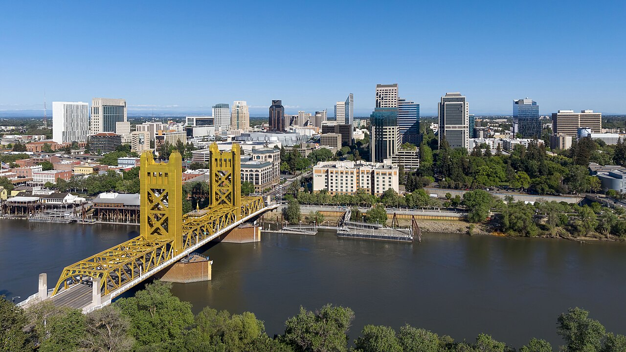
Locate Sacramento
City-center location map only—not a flood-risk map, hazard boundary, live warning or address-specific assessment.
Official sources and review notes
Local sources establish geographic and hazard context. CDC and EPA resources provide general recovery guidance. Historical notices and draft plans are identified in the text; they are not current warnings or funding approvals.
- Comprehensive Flood Management Plan — cityofsacramento.gov. Checked 2026-10-18.
- Sacramento County Multi-jurisdictional Local Hazard Mitigation Plan Update September 2021 — waterresources.saccounty.gov. Checked 2026-10-18.
- Guidelines for Cleaning Safely After a Disaster | Natural Disasters | CDC — Centers for Disease Control and Prevention. Checked 2026-10-18.
- Resources for Flood Cleanup and Indoor Air Quality | US EPA — U.S. Environmental Protection Agency. Checked 2026-10-18.
Sacramento recovery questions
Does a levee improvement remove the need for property preparedness?
No. It addresses community-scale protection, not every possible water source or building condition. Owners still need current local information and a plan for their own access, contents and services.
Should every wet Sacramento floor be replaced?
Not automatically. The decision depends on contamination, construction and material condition. The contractor should explain the evidence supporting cleaning, drying or removal rather than apply one rule everywhere.
Compare listings, then confirm the fit
Browse listed companies in California. A state listing is not proof of service at your address, an emergency dispatch promise or a coverage decision. Confirm location, services and availability directly.
Browse California restoration companies · Regional property-damage guide